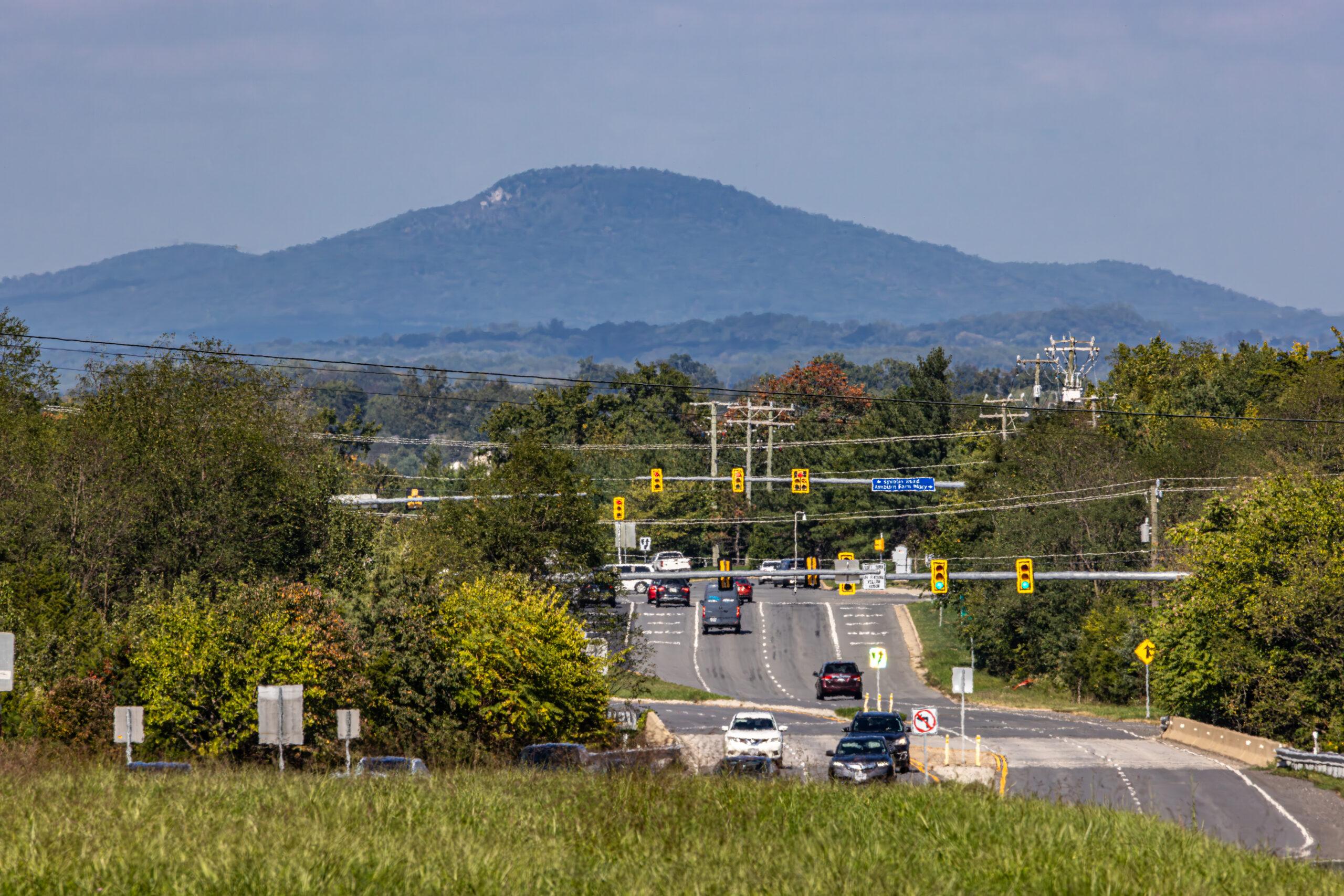
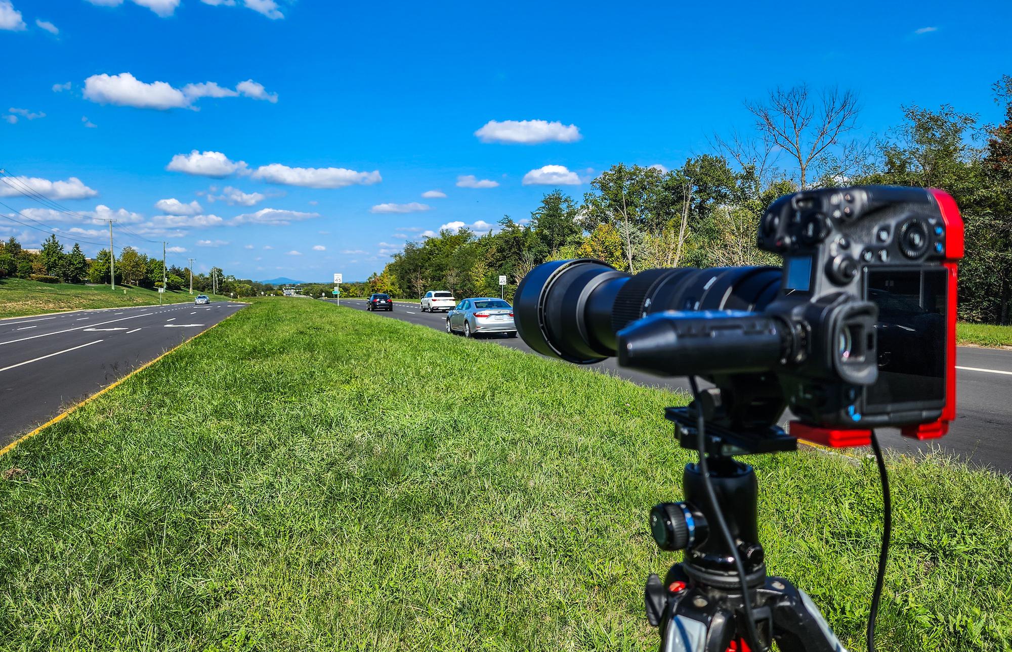
Local commercial photographer Andrew Sample of Andrew Sample Photography had some free time this weekend, so he went out and took this cool photo of Sugarloaf Mountain as seen from Ashburn.
It’s our latest (and very occasional) Picture of the Week.
Sample positioned himself on Belmont Ridge Road near Broadlands Boulevard and shot towards the mountain located roughly 15-20 miles north of Ashburn in Maryland.
Here are some fun facts about Sugarloaf Mountain that you may not know about:
- The peak of Sugarloaf Mountain is roughly 800 feet higher than the surrounding farmland, making it a relatively low mountain in the world of mountains.
- Geologically, it is known as a monadnock, a mountain that is left behind after the surrounding land has eroded away. At Sugarloaf, this process took roughly 14 million years.
- During the Civil War, Union forces occupied the summit of Sugarloaf Mountain and used it as an observation and signaling station.
- In the 1920s, famed American architect Frank Lloyd Wright was commissioned to design a recreation center at the summit of the mountain, but it was never built.
- President Franklin Delano Roosevelt reportedly considered using Sugarloaf Mountain as his presidential retreat, but ultimately chose a spot at Catoctin Mountain roughly 35 miles away. That site eventually became Camp David, a presidential retreat ever since.